The tide calendar shows the times when the high or low tide occurs in the Port of Hamburg at the St. Pauli Landungsbrücken. The date can be selected up to one week in advance.
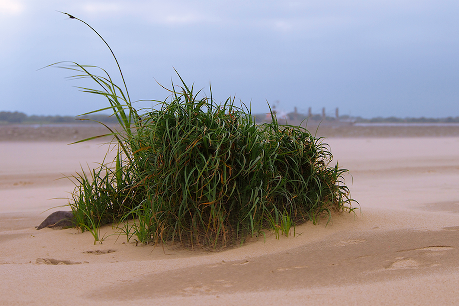
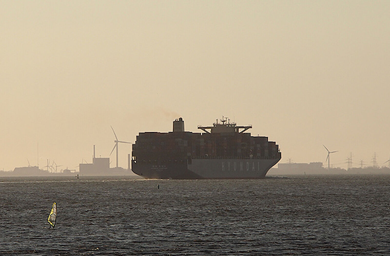
The Elbe extends for 1,091 kilometres from its source in the Giant Mountains in the Czech Republic to where it meets the North Sea. Of this, around 870 kilometres are navigable. The river falls into two sections – the Lower Elbe for the stretch of around 145 kilometres from the estuary to the Port of Hamburg, and the Upper Elbe for the upriver section further inland.
The North Sea and the Elbe are tidal waters. In other words, the water level varies between low and high tide. Tidal range, or the average difference between water levels, amounts to a mean 3.66 metres. Water level rises with the flood tide for six hours from low to high water. In the next six hours the water level falls with the ebb to low water again. The rise and fall of the water creates a tidal current that in Hamburg runs at about 2.5 knots.
Strong north-westerly winds can cause a torrent that causes the water to overflow. This affects, for example, the Fischmakrt and the Speicherstadt.
KATWARN: Official warning for the mobile phone
Information from the authorities of the city of Hamburg
Information from the Federal Maritime and Hydrographic Agency (only in german)
Port map with areas at risk (Hamburg Port Authority) (only in german)
Information storm surge (Hamburg Port Authority) (only in german)