null
Administration Nacional de Puertos
Rambla 25 de Agosto de 1825 N°160
Of. 210 - int. 2582
Montevideo
Uruguay
+ 598 1901
© OpenMapTiles © OpenStreetMap contributors
Location
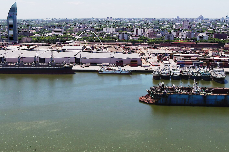
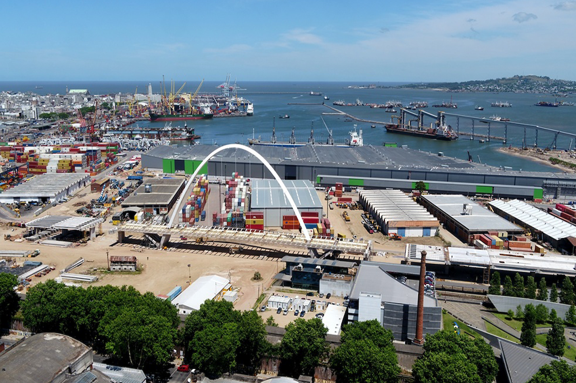
The port facilities are located on the east coast of Montevideo Bay, with the exception of the hydrocarbon terminal and the new Puerto Capurro Fishing Terminal, under construction, located to the north of the bay.
The West breakwater, 1,300 meters long, and the East breakwater (Escollera Sarandí), 900 meters long, protect the port from SW (Pampero) and S and SE winds, respectively. This protection is reinforced by a belt dike located in front of the operating docks. The water surface of the port is divided into three basins: Fluvial Basin, Basin I and Basin II. The land area is approximately 110 hectares, mostly dedicated to operations. There are ongoing projects to further expand it.
The total length of the docks is more than 4,500 meters. Road vehicles enter and leave the port through two access gates: Acceso Maciel and Acceso Florida. As part of a project to rationalize the flow of vehicular traffic in and around the port area, a new gate (North Access) has been installed for certain categories of cargo.